Day Hikes Near Tokyo Travel Guide
Plan day hikes near Tokyo with top picks, neighborhood context, timing tips, and practical booking advice for a smoother trip.
On this page
Day Hikes Near Tokyo
Tokyo sits within striking distance of some of Japan's most satisfying hiking terrain. Within two hours of Shinjuku you can be standing on a forested ridge, a coastal bluff, or a Shinto shrine perched above the clouds. Trails run from paved beginner routes to multi-peak ridge walks that will test experienced hikers.
This guide covers the best day hikes near Tokyo in 2026, matched to difficulty level and transport time. Each entry includes transit details, realistic durations, and the practical details that make the difference between a smooth outing and a wasted half-day.
Check conditions before you go. Mountain weather near Tokyo shifts quickly, especially between October and March when sudden snowfall can close higher routes without notice.
Free: The Tokyo Essentials guide
Top things to do, where to stay, a perfect day plan, getting around, and the best time to go — a Tokyo mini-guide you can take offline.
Best Beginner Hikes Near Tokyo
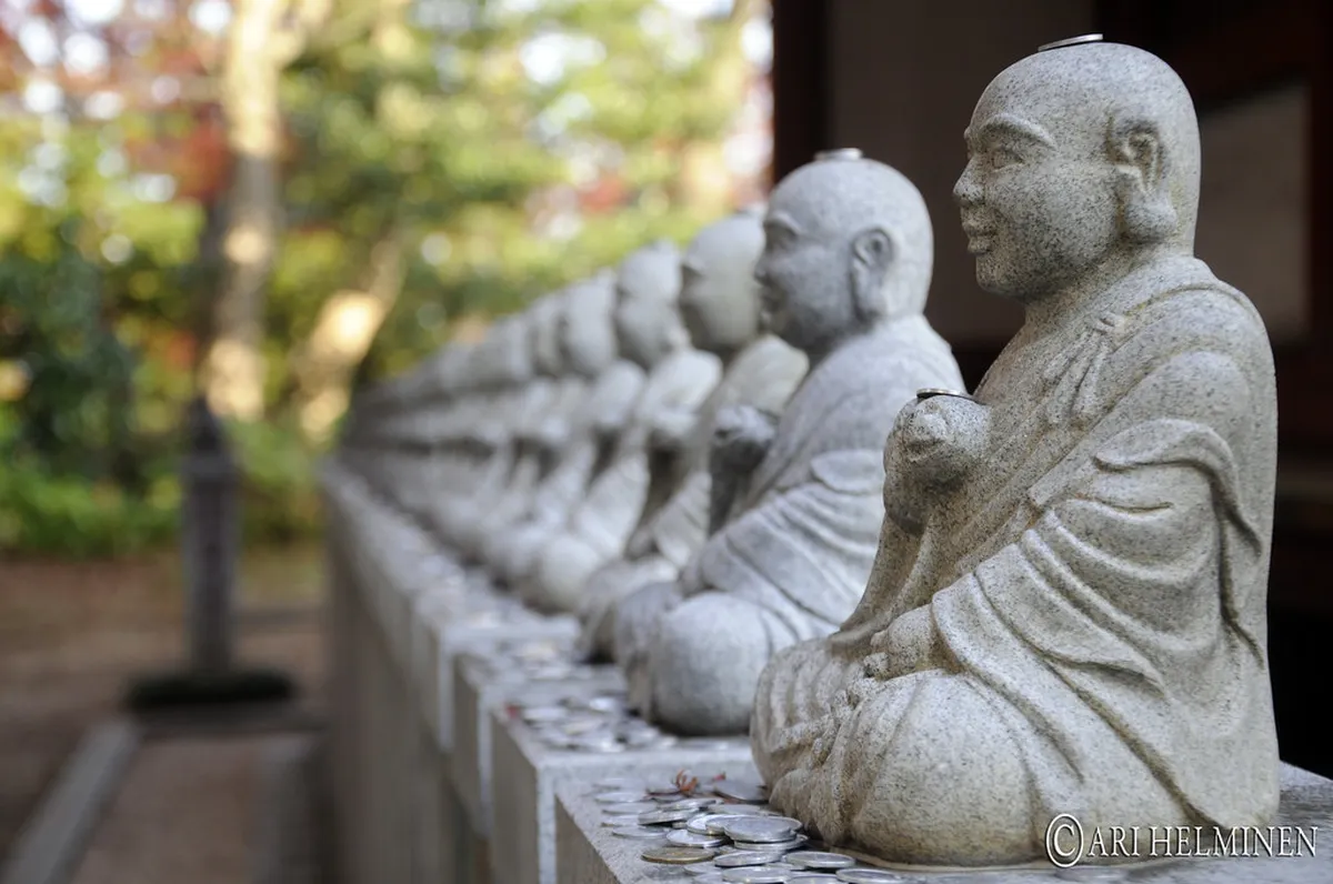
Mount Takao (高尾山) is the single most popular day hike from Tokyo, and for good reason. The mountain sits just 50 minutes from Shinjuku on the Keio Line to Keio Takaosanguchi Station, costing around ¥390 one way. The easiest route, Trail 1 (Omotesando), is fully paved and takes about 90 minutes from the base to the summit. You can shorten the ascent by taking the cable car or open chairlift from Kiyotaki Station — ¥490 one way — which deposits you halfway up near Trail 1.
At 599 m, Takao is manageable for almost anyone, and the summit rewards clear-day visitors with an unobstructed view of Mount Fuji to the southwest. The Yakuōin Temple along Trail 1 is one of the main reasons to hike rather than ride — the cedar-lined approach and the distinctive tengu (crow-beaked mountain deity) carvings are worth the extra 30 minutes on foot. A monkey park and wild-flower garden sit just below the summit for families.
Mount Kōbō, set in the foothills south of Mt. Ōyama near Hadano, offers a quieter 2.5-hour circuit. It is especially popular during cherry blossom season in late March to early April, when lanterns illuminate the blossoms in the early evening. Take the Odakyu Line to Hadano Station, turn right out of the station, and walk 20 minutes along the road until the trailhead appears on the right, just past a 7-Eleven. On clear days, the summit offers views toward both Mt. Fuji and Sagami Bay.
Kinchakuda in Hanno (Seibu-Ikebukuro Line from Ikebukuro, ¥480) is another gentle option. The 2–3 hour loop feels more like a countryside walk than a technical hike, passing waterwheels, an organic café, and — depending on the season — red spider lilies or cherry blossoms. The final climb up Mt. Hiwada at 305 m provides a satisfying view of Mt. Fuji and Tokyo before the easy descent. For more general day trips, explore our guide on Day Trips From Tokyo Travel Guide.
Mount Mitake: The Spiritual Hike in Okutama
Mount Mitake (御岳山, 929 m) in Ōme City is one of the most complete hiking destinations near Tokyo. The mountain hosts Mitake Shrine, a site with a 2,000-year history that still draws pilgrims, and its clear streams and waterfalls make it a favourite among naturalists. Access is under two hours from Tokyo: take the JR Chūō Line to Mitake Station, then a 10-minute bus to the Mitake Tozan Ropeway Station.
Using the ropeway (¥600 one way), the walk to the shrine at the summit is just 1 km and takes about 30 minutes. Skipping the ropeway and hiking up from the valley adds roughly 60 minutes of steep climbing. From the shrine, an additional hour of walking reaches the Rock Garden — a moss-carpeted forest valley with stream crossings and small waterfalls. Another hour beyond that brings you to the summit of Mt. Ōtake (1,266 m), with views extending to Mt. Fuji on clear days.
For a full-day multi-peak option, the Okutama–Mt. Mitake–Mt. Hinode traverse (7–8 hours, enthusiast level) combines Mt. Nokogiri, Mt. Ōtake, and Mt. Mitake in a single push. Start at JR Okutama Station, turn left out of the station, cross the bridge over the Tama River, and follow the signs for Mt. Nokogiri (鋸山) and Mt. Ōtake (大岳山). Signs often lack English, so note the kanji before setting off. In winter, bring crampons — snow is common above 800 m. A visitor centre near the ropeway station hands out free trail maps (closed Mondays).
Planning a Tokyo day trip by train to Mitake pairs well with a soak at Tsuru-tsuru Onsen, reachable by a 2-hour hike from the Mitake trail network or by bus from JR Musashi-Itsukaichi Station.
Mount Jinba and the Mt. Takao Traverse
For hikers who find Mt. Takao too easy, the Mt. Jinba to Mt. Takao traverse raises the stakes considerably. This 7-hour, 15 km ridge walk starts at Mt. Jinba (854 m) and follows an open ridgeline across to the Mt. Takao summit. On a clear winter day, the panorama from Mt. Jinba extends almost 100 km in both directions — Mt. Fuji and the Japanese Alps to the west, and Mt. Tsukuba and Tokyo to the east. Mountain teahouses along the route sell soba and simple mountain fare, so you can pack light.
Access involves a train to Takao Station (JR Chūō Line), then a 30-minute bus to Jinba-kogen (陣馬高原). At the finish, two options exist: cut the route short at the Mt. Jinba summit and bus back to Hachioji, or complete the full ridge walk ending at the chairlift on Mt. Takao. The full route is best attempted from November to March for clear Fuji views. Crampons are advisable after snowfall.
Mt. Jinba can also be reached from JR Fujino Station as an alternative starting point — follow the signs through the railway tunnel and walk about 30 minutes along the road to the trailhead. This approach cuts the bus connection and works well for early-morning starts.
Kamakura: Trails Through Temples and Ridgelines
Kamakura is commonly visited for its temples and the Great Buddha, but it also has three legitimate hiking routes that connect most major sights. The Daibutsu Hiking Course and the Tenen Hiking Course each take 60–90 minutes; the shorter Gionyama Hiking Course covers 30 minutes. All three can be combined into a single full day. The trails are low-altitude forest paths rather than mountain climbs — good for visitors who want nature without serious elevation gain.
The Daibutsu Course passes the Zeniarai Benten Shrine, where visitors wash coins for good luck, before connecting to the area near the Great Buddha at Kōtoku-in. The Tenen Course runs along the northern ridgeline and passes Kamakura's large cemetery before descending to Tsurugaoka Hachimangū Shrine at the centre of town. Following the forested Genjiyama Park section gives a sense of the natural wall that made Kamakura defensible — the route passes through Kewaizaka Pass, one of the original Seven Passes into the city.
Start at JR Kamakura Station and follow signs for whichever course you begin with. Kamakura is a 1-hour direct ride from Tokyo Station on the JR Yokosuka Line. The coastal extension to Enoshima takes an extra 30 minutes on the Enoshima Electric Railway and is a practical add-on for a full day out — the island has a cave shrine, a lighthouse observation deck, and several onsen.
Mt. Tsukuba and Mt. Nokogiri: Twin-Peak Alternatives
Mount Tsukuba (877 m) stands alone on the flat Kantō Plain, which means unobstructed 360-degree views that are rare for a mountain of this height. It is one of Japan's 100 Famous Mountains and features twin summits — Mt. Nyotai and Mt. Nantai — connected by a short ridge walk. The total hike takes 3–4 hours. Access is via the Tsukuba Express from Akihabara (45 minutes, around ¥1,200 one way) to Tsukuba Station, then a 35-minute bus to the trailheads. The Mt. Tsukuba ARUKIPPU pass bundles train and unlimited bus rides and saves money if you plan to ride multiple buses.
One practical detail that competitors rarely mention: get off at Tsutsujigaoka (the last bus stop) rather than the more popular Tsukubasan-jinja-iriguchi stop. The Otatsu-ishi Trail from Tsutsujigaoka reaches panoramic views of the Kantō Plain within 5–10 minutes of starting, and leads directly to the interesting "Strange Rocks and Bizarre Stones" formations before the summit. Many people hike up and use the ropeway to return, which is a sensible way to save tired legs.
Mount Nokogiri (329 m) across the bay in Chiba offers a very different experience for a low mountain — a giant Buddha carved into the cliff, hundreds of smaller Buddha statues along the trails, and a working stone quarry site with abandoned wooden transport structures. Hiking takes about 50 minutes up from Hamakanaya Station on the JR Uchibō Line, though most visitors take the ropeway and walk the religious circuit on top. The route is not always clearly marked, so pick up the trail map at the base station before starting.
Fuji Five Lakes: Hikes With the Best Fuji Views
The Fuji Five Lakes area (富士五湖) sits 2–3 hours from central Tokyo and offers the closest and most dramatic views of Mt. Fuji. The quickest access is by highway bus from Busta Shinjuku to Kawaguchiko Station (around 1,750–2,000 yen one way depending on the season). The JR Chūō Line to Otsuki Station (100 minutes, or 65 minutes on the limited express) connects to local buses that serve the lakes. Note that bus tickets sell out quickly during Golden Week and the Fuji-climbing season (July–early September) — book several days ahead on highwaybus.com.
For actual hiking, skip the crowded north shore of Lake Kawaguchi and head to Lake Motosu, the westernmost lake. The trail from the Lake Motosu Observation Park to the Nakanokura Pass Viewpoint is a steep but manageable 30-minute climb, and the view of Mt. Fuji from the top was featured on the old 1,000-yen note. From Nakanokura, continuing another 40 minutes to the Lake Shoji Panorama-dai gives an elevated perspective over the Aokigahara Forest with no obstructions — far fewer people make it this far.
Tenjo-Yama above Lake Kawaguchi remains the most popular short hike in the area: take the Kachi Kachi Ropeway from the east shore, then walk 20 minutes to the viewpoint. This is a good option for families or anyone who wants Fuji views without committing to a full trail. The main route around the lake (the 4.5-hour, 7 km loop starting and ending at Otsuki Station) is also well-signed and suitable for moderate fitness levels.
What Gear and Preparation Do You Need?
For beginner routes — Takao, Kōbō, Kinchakuda, Kamakura — good walking shoes, water, snacks, and a waterproof jacket cover most situations. Easy trails below 600 m rarely require specialised equipment. That said, even on Mt. Takao the summit can be 5–8°C cooler than central Tokyo, and afternoon rain is common in summer.
For enthusiast-level routes (Mt. Mitake, Mt. Ōyama, Mt. Jinba traverse, Okutama trails), add: hiking boots with ankle support, at least 2 litres of water, trekking poles, and crampons from late November through March. Mountains above 800 m in the Okutama region frequently see snow from December to February. The visitor centres at Mt. Mitake and Mt. Tsukuba post current trail conditions.
Download the Yamap app before any hike beyond beginner level. Yamap provides free offline topographic maps of virtually every trail in this guide and tracks your GPS position without a data connection. The app also sells mountain rescue insurance for a few hundred yen per day — a cost worth paying, because helicopter rescue in Japan is not covered by the national health insurance and can exceed ¥1.4 million out of pocket. For visitors, check that your travel insurance covers mountain activities before relying on it instead.
Pack essentials regardless of route: a portable battery pack for phone navigation, a physical trail map as backup, and enough food for a delay. Many mountain lodges sell snacks, but do not count on them being open on weekdays outside peak season. Tell someone your route and expected return time before setting off on any trail above beginner level.
Timing, Crowds, and Season: Choosing the Right Day
Mount Takao receives over 2.5 million visitors a year, making it one of the most-climbed mountains in the world. On public holidays — particularly around Golden Week (late April to early May), the Japanese Emperor's Birthday (23 February), and autumn leaf season (mid-November) — the trail can feel like a Shinjuku platform at rush hour. Arriving at the trailhead before 08:00 on those days makes a significant difference; by 12:00 the cable car queue can stretch 30 minutes. On weekdays outside school holidays, the same trail is peaceful.
For Fuji views, winter and early spring (December to mid-March) give the highest probability of a clear summit. By midday in any season, low cloud frequently obscures Fuji even from nearby ridges, so early starts matter everywhere in this list, not just on Takao. Mt. Tsukuba and Mt. Nokogiri are good year-round destinations because their lower altitude makes snow less likely and the cultural sites remain open.
Autumn (mid-October to late November) is the best overall hiking season near Tokyo: temperatures are moderate, trails are firm, and koyo (autumn foliage) peaks across the Okutama and Chichibu ranges. Spring (late March to mid-April) is second-best, with cherry blossoms on Mt. Kōbō and plum blossoms in the Kinchakuda area. Summer hiking is possible but hot and humid, with afternoon thunderstorms a real risk on exposed ridges — start early and plan to be off high ground by 14:00.
Frequently Asked Questions
Which day hikes near Tokyo options fit first-time visitors?
Mount Takao offers several beginner-friendly trails with cable car access for an easier ascent. Mount Kōbō also provides gentle paths and scenic views perfect for new hikers. Both are easily accessible by public transport from Tokyo for a relaxing day out.
How much time should you plan for day hikes near Tokyo?
Most day hikes near Tokyo can be completed within 3 to 7 hours, depending on the trail and whether you use cable cars. Factor in travel time from Tokyo, which can range from 1 to 2 hours each way. A full day typically allows for hiking and exploring the area.
What should travelers avoid when planning day hikes near Tokyo?
Avoid hiking in unsuitable footwear like sandals or city shoes. Do not underestimate mountain weather, which can change quickly. Also, avoid relying solely on your phone for navigation; bring a physical map or power bank. Always carry enough water and snacks for your chosen route.
Is day hikes near Tokyo worth including on a short itinerary?
Yes, absolutely. Many hikes like Mount Takao or Mount Mitake are easily reachable within an hour or two from Tokyo. They provide a fantastic contrast to the urban environment and a refreshing break. These trips offer unique cultural and natural experiences, even on a short visit.
Tokyo provides an incredible gateway to diverse hiking experiences. From spiritual ascents on Mount Mitake to panoramic views at Fuji Five Lakes, options suit every fitness level and available time. Kamakura's forest trails combine culture and nature in a way few mountain hikes match. The Okutama multi-peak routes satisfy hikers who need something genuinely challenging within a day trip from the city.
Match your trail choice to your fitness, the season, and the day of the week — particularly for Mt. Takao, where crowd levels vary dramatically. Download Yamap, pack crampons from November onward for higher routes, and book Fuji bus tickets at least a few days ahead. The logistics are straightforward once you know them, and every trail in this guide is reachable entirely by public transport from central Tokyo.
Free: The Tokyo Essentials guide
Top things to do, where to stay, a perfect day plan, getting around, and the best time to go — a Tokyo mini-guide you can take offline.
You might also like


Continue reading
More guides you'll find useful