
Irohazaka Winding Road: A Complete 2026 Guide to Nikko's 48-Curve Mountain Pass
Drive or ride Irohazaka, the 48-curve road linking Nikko and Lake Chuzenji. 2026 bus fares, the one-way system, and autumn traffic tips.
On this page
Last updated September 2026: Irohazaka is the pair of one-way roads linking central Nikko with Lake Chuzenji, climbing about 1,440 feet across 48 hairpin curves. Second Irohazaka carries traffic uphill and First Irohazaka carries it back down, so route planning matters as much as timing. This guide covers the one-way logistics, the Akechidaira stop, autumn traffic timing, and the bus, driving, and tour options for 2026.
What Is Irohazaka? The Road of 48 Hairpin Turns
Irohazaka takes its name from iroha, the historic ordering of 48 Japanese syllables once used instead of today's gojūon sequence, plus zaka, meaning slope. Route 120 climbs about 1,440 feet between Nikko town and Chuzenji Onsen at the shore of Lake Chuzenji, and its two carriageways together hold a combined 48 hairpin curves. Each bend carries its own kana marker, following that old syllable order, a detail that turns the climb into a running count for passengers. Locals and drivers alike use the road as the main gateway into Okunikko, covered further in the Nikko attractions overview. Okunikko sits within Nikko National Park, and past the top of the climb it opens onto marshlands, volcanic peaks, and hot-spring towns that make up the wider Oku-Nikko area. Drivers coming by car from the Tokyo direction typically join the route near the Nikko-Utsunomiya Road's Kiyotaki interchange, about 15 minutes from the base of the climb. Public buses and private cars share the same two carriageways, so the logistics below apply whether you drive or ride.
Navigating the One-Way System: Second Irohazaka Up, First Irohazaka Down
Second Irohazaka opened in 1965 and carries all uphill traffic toward Lake Chuzenji. First Irohazaka opened earlier, in 1954, and carries traffic back down toward Nikko town, passing a pull-off with views of two waterfalls tumbling into the valley below. Both roads started as toll routes but have been free to drive for decades. Signage along each carriageway marks the direction clearly, and the split applies to buses as well as private cars. Because each road runs one direction only, there is no way to cross between them partway up. Skip the Akechidaira stop while heading uphill, and the only way back to it is completing the entire loop, roughly 12 to 19 miles depending on the route taken. Build the driving order into your plan before setting out: go up via Second Irohazaka, stop at Akechidaira, continue to Lake Chuzenji or Chuzenji Onsen, then come back down separately via First Irohazaka. Bus riders face the same constraint. Downhill buses toward Nikko Station run on First Irohazaka and do not serve the Akechidaira stop, so the uphill leg is the only chance to get off there.
Highlights Along the Route: Akechidaira, Kurokami Plain, and the Alphabet Markers
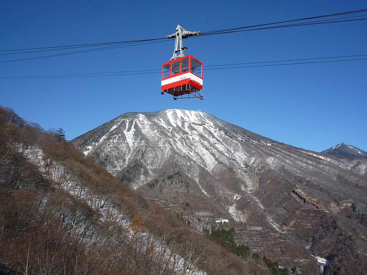
Akechidaira Plateau sits near the top of Second Irohazaka and marks the best-known stop on the road, home to the Akechidaira Panorama Rest House and a short ropeway ride to an upper observation deck. This is one of the only points on the route where Kegon Falls, Lake Chuzenji, and the switchbacks of Irohazaka itself appear together in one frame. Mt. Nantai, an 8,156-foot volcano, anchors the skyline above the lake from the wider Okunikko district beyond the top of the climb. Two named rest stops break up the second carriageway, giving drivers and bus passengers a reason to pause before or after the climb.
- Akechidaira Plateau: a rest house and observation deck reachable only from the uphill road, with a ropeway climbing to a platform overlooking Kegon Falls and Lake Chuzenji together.
- Kurokami Plain: a second parking area partway up Second Irohazaka, useful as a quieter alternative for mountain views when Akechidaira's lot fills during peak leaf season.
- Alphabet markers: each of the 48 hairpin curves carries a kana character from the old iroha sequence, an easy way for passengers to track progress toward the top.
Best Time to Drive Irohazaka: Autumn, Spring, Summer, and Winter
Autumn draws the most visitors to Irohazaka. Nikko's official guide lists mid-October through early November as the peak foliage window, though the exact week shifts with elevation and year. A fuller seasonal breakdown before booking sits in the fall foliage guide for the wider Nikko area. Weekday mornings see noticeably less traffic than weekend afternoons during those weeks. Staying overnight in Okunikko before tackling the climb avoids the worst of the morning uphill surge entirely. Timing a trip around peak color gets fuller treatment in the November travel guide. Spring and early summer bring fresh greenery and lighter traffic than autumn. That same 1,440-foot climb keeps summer temperatures on Second Irohazaka milder than in central Nikko or Tokyo. Winter turns the switchbacks into a different kind of drive. Icy patches are common on shaded curves, and rental cars need snow tires or chains for the cold months. Chain requirements and seasonal conditions get fuller coverage in the winter driving guide. For a full season-by-season comparison across the whole trip, check the seasonal planning guide. Seasonal event updates are posted by the Nikko Tourism Association.
During peak foliage season (mid-October–early November), the roughly 40-minute drive stretches to three-plus hours on weekends, making weekday mornings far more viable.
| Season | Conditions & Tips |
|---|---|
| Autumn (mid-October to early November) | Peak foliage; weekday mornings lighter than weekends when 40-minute drive stretches to 3+ hours |
| Spring & Early Summer | Fresh greenery; light traffic overall, lighter than autumn |
| Summer | Milder temperatures than central Nikko or Tokyo due to 1,440-foot elevation |
| Winter | Icy patches on shaded curves; snow tires or chains required |
Transport Logistics: How to Experience the Road
Three ways cover Irohazaka: bus, rental car, and guided tour, each suited to a different budget and comfort level. Before tackling the road itself, the guide to reaching Nikko from Tokyo covers the train and bus options into town. Driving the switchbacks yourself means full attention on 48 continuous turns, with few chances to look at the scenery until a rest stop. Riding the bus removes that stress. Seating and window position determine how much of the view you actually get, though, and the same curves that challenge drivers can trigger motion sickness in some passengers.
Bus travel to Akechidaira takes about 35 minutes (¥1,250), but only uphill buses stop there—downhill routes bypass it entirely.
- Tobu Bus: buses bound for Chuzenji Onsen or Yumoto Onsen depart from Nikko Station and Tobu-Nikko Station, reach Akechidaira in about 35 minutes, and cost ¥1,250 one way. A multi-day pass covering this corridor, the Nikko All Area Pass, can lower the per-ride cost on a longer stay.
- Rental car: driving the hairpins yourself gives full control over stops, with parking available at both the Kurokami Plain and Akechidaira lots partway up Second Irohazaka. Fill the tank before leaving central Nikko, since services thin out past the base of the climb.
- Guided tour: small-group day tours pairing Irohazaka with Toshogu Shrine and Lake Chuzenji are listed by tour aggregators from about ¥10,000 per person. A guide handles the driving and the one-way logistics, which suits travelers uneasy about the switchbacks.
Survival Tips: Traffic, Wildlife, and the No-Return Rule
A few recurring mistakes turn a straightforward drive into a frustrating one, most of them avoidable with a little planning.
- Autumn's traffic trap: the roughly 40-minute drive between Nikko town and Chuzenji Onsen can stretch past three hours on weekend afternoons during peak foliage weeks.
- Wildlife on the roadside: Japanese macaques appear along the route, and the Japan National Tourism Organization flags ongoing incidents of monkeys taking visitors' belongings. Keep windows up and food packed out of sight.
- Motion sickness on the bus: 48 consecutive hairpin turns can be rough on passengers prone to carsickness. Sit toward the front, and consider medication before the ride up.
- Parking at Akechidaira: the lot fills fast on peak weekends, so arriving early or using Kurokami Plain as a backup keeps the stop possible without a long wait.
- No-return rule: Akechidaira is reachable only from the uphill Second Irohazaka route. Miss it, and the only fix is finishing the full loop rather than doubling back.
Nearby Attractions and Where to Stay
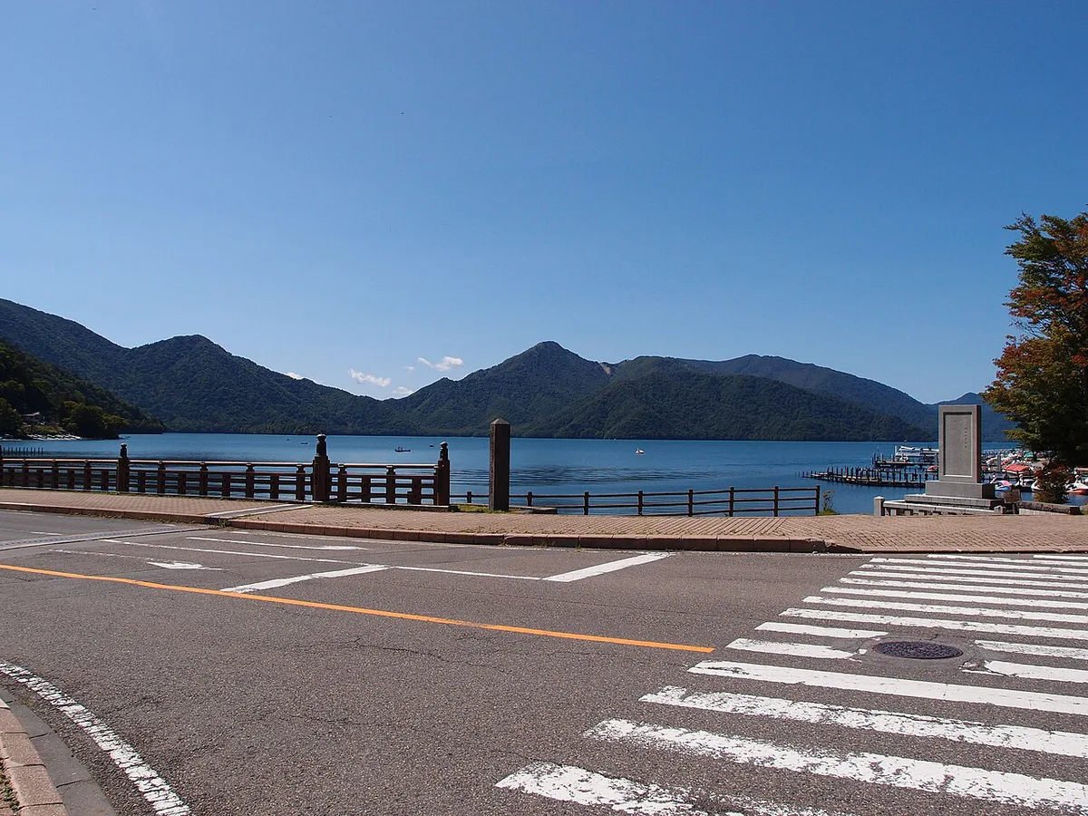
Second Irohazaka ends at Chuzenji Onsen on the shore of Lake Chuzenji, detailed further in the Lake Chuzenji guide. Kegon Falls sits a short walk from the lakeshore area nearby, a stop most visitors pair with the lake itself. Staying in central Nikko keeps you close to the train stations and central-town sights, though it means driving or busing up Irohazaka each morning during crowded autumn weeks. Overnight stays in Okunikko instead avoid that morning climb and put the lake and falls within walking distance. Lakeside hot-spring inns in the Chuzenji Onsen area, including larger properties like The Ritz-Carlton, Nikko, sit directly on the water. The trade-off is a longer trip back down to central Nikko's shrines and shopping on the days you head that way. For planning how much time to give the lake within a longer trip, the three-day Nikko itinerary works Irohazaka into a broader schedule. Pair the drive with other stops from the nearby day-trip roundup to fill out a full day beyond the road itself.
Frequently Asked Questions
What does Irohazaka mean, and why does the road have 48 curves?
Irohazaka combines iroha, the historic order of 48 Japanese syllables, with zaka, meaning slope. The two carriageways together hold a combined 48 hairpin turns, and each curve traditionally carries its own kana marker from that old sequence.
How does the one-way system between Nikko and Lake Chuzenji work?
Second Irohazaka carries all uphill traffic toward Lake Chuzenji, while First Irohazaka carries traffic back down toward Nikko town. There is no way to cross between them partway up. Missing a stop on the way up means finishing the entire loop to reach it again, roughly 12 to 19 miles.
When is the best time to see autumn colors on Irohazaka?
Nikko's official tourism guide lists mid-October through early November as peak foliage season. Weekday mornings see far less traffic than weekend afternoons during those weeks, so plan around that timing when possible.
How much does the bus cost from Nikko Station to Akechidaira?
The Tobu bus bound for Chuzenji Onsen or Yumoto Onsen costs ¥1,250 one way and takes about 35 minutes from Nikko Station or Tobu-Nikko Station. Downhill buses toward Nikko Station do not stop at Akechidaira, so plan the uphill leg with that stop in mind.
Can you stop at Akechidaira Plateau on the way back down?
No. Akechidaira is reachable only from the uphill Second Irohazaka route. Buses and cars heading back down use the separate First Irohazaka carriageway and do not pass that stop.
Do you need snow tires to drive Irohazaka in winter?
Rental cars typically need snow tires or chains for winter driving on Irohazaka's switchbacks, since icy patches are common in the cold months. Check current road conditions before setting out.
What's the difference between the Akechidaira and Chuzenji Onsen bus stops?
Akechidaira is the uphill-only stop for the plateau, ropeway, and observation deck partway up Second Irohazaka. Chuzenji Onsen is farther on, at the top of the climb by the lake itself, and is served by buses in both directions.
Free: The Nikko Essentials guide
Top things to do, where to stay, a perfect day plan, getting around, and the best time to go — a Nikko mini-guide you can take offline.
You might also like


Continue reading
More guides you'll find useful